



Fuerteventura · West coast · Pájara
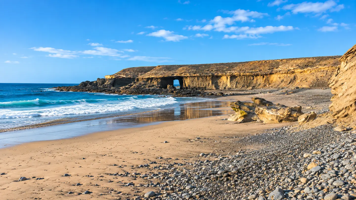
Playa de Garcey Beach in Fuerteventura
A remote bay with sand, dark pebbles and the story of the American Star.
Fuerteventura · West coast · Pájara
Where is Playa de Garcey?
Playa de Garcey is on Fuerteventura’s west coast in the municipality of Pájara, south of Playa de La Solapa. The beach faces the open Atlantic.
View on Google MapsPlaya de Garcey at a glance
Beach guide
A wild bay on Fuerteventura’s west coast
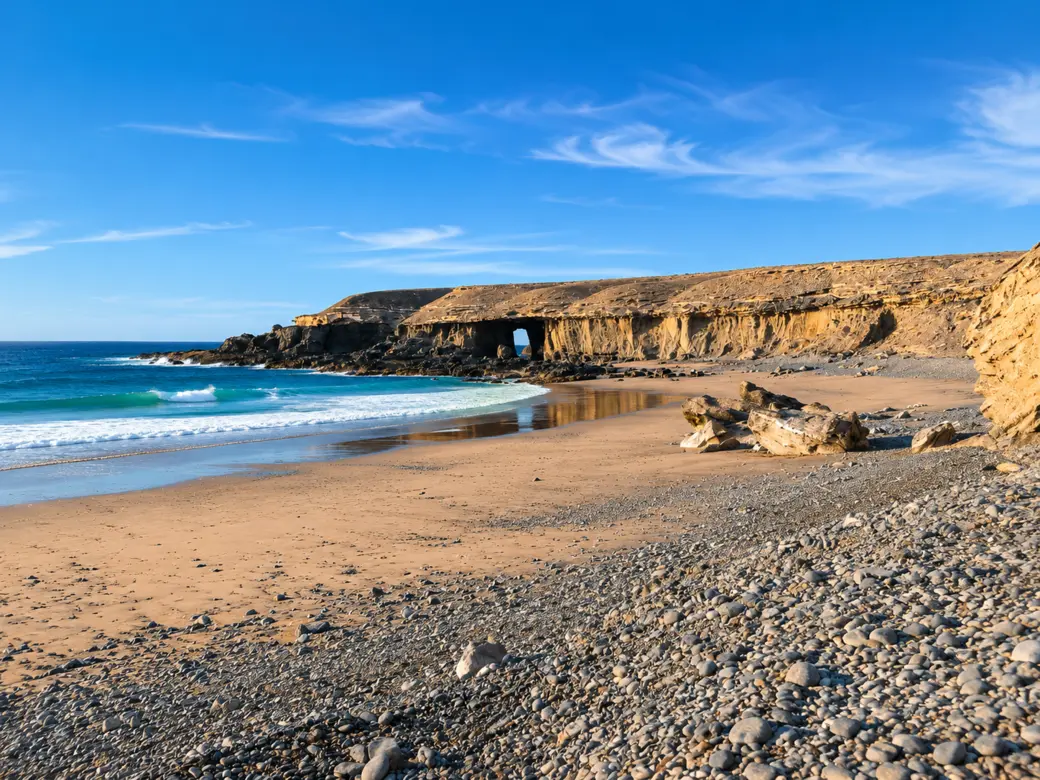
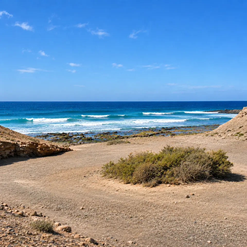
Golden sand gives way to dark pebbles at Garcey. The open sea shapes the beach. Waves run far into the bay, and the shoreline changes with the tide. For a short visit, enjoy the view from land and take a walk if conditions allow.
The American Star
The ocean liner ran aground off Garcey in 1994. Photos of the once-prominent wreck show how the bay looked in the past. Today the view is dominated by rock, sand and sea.
Watch the waves
In rough seas, stay on firm ground and keep your distance. Plan this as a coastal visit without a swim.
Plan for a remote location
Bring drinking water, sun protection and sturdy shoes. Expect few facilities and check your return route before going down to the beach.
Getting there and beach access
The beach is south of La Solapa. The last parts of the approach may be unpaved. Before setting off, check local notices, open routes and your hire car agreement. Parts of the surrounding area may be closed.
Local signs and notices
Respect barriers and signs. If the access road is closed, choose another stop on the coast.
Map pin and return journey
The pin marks the location of Playa de Garcey. Follow local signs to see which approach is open and plan to return in daylight.
Three tips for visiting Playa de Garcey
Before you set off
Check the AEMET marine forecast. Wind and sea conditions matter more on this exposed coast than the air temperature. If heavy surf is expected or access is uncertain, choose another stop for the day. Download the map before leaving and allow enough time for the return journey.
At the beach
Playa de Garcey is a good place to take in the rocky coastline from land. Watch several waves from dry, firm ground before deciding how far to go. You can see the rock arch from a distance. Stay on open paths and keep clear of the base of the cliffs.
Time for the surrounding area
If you have time after the visit, stop in the village of Pájara. La Solapa is another coastal stop north of Garcey. Plan each beach as a separate visit using open access roads. Playa de La Solapa also faces the open Atlantic and can have powerful surf.
Frequently asked questions
Where is Playa de Garcey?
On Fuerteventura’s west coast, in the municipality of Pájara, south of Playa de La Solapa.
Can you still see the wreck of the American Star?
You can no longer count on seeing the wreck from the beach. Visit for the coastal landscape and discover the ship’s story through historical photos.
Is Garcey suitable for swimming?
The exposed bay is known for powerful waves. Plan to enjoy the coast from a distance from the water.
How do I get to Garcey?
Before your visit, check which routes are open, the condition of the track and any closures. The map link shows where the beach is.
Can you visit Garcey and La Solapa in one day?
Yes, if each access road is open and conditions are suitable. Plan both as short coastal visits and leave enough time for the return trip. If the sea is rough, you could stop in the village of Pájara instead.
Further reading
Fuerteventura beach guide · Municipality of Pájara · Beach directory (Spanish) · Visit Canary Islands · History of the American Star
Images of Playa de Garcey · AI-edited from reference photos.