



Fuerteventura · Southeast coast · Pájara
Playa de Costa Calma, Fuerteventura
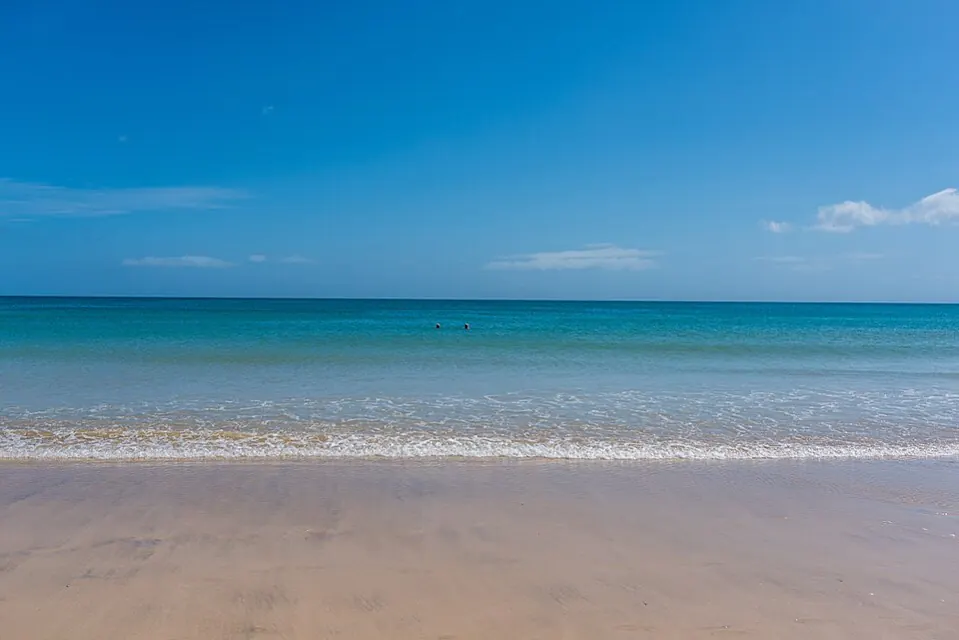
Pale sand, turquoise water and a short walk from town to the sea. Playa de Costa Calma is the main beach of this resort in southern Fuerteventura. Here’s how to plan your beach day, get there and account for the wind and tides.
Fuerteventura · South
Where is Playa de Costa Calma?
The bay lies right beside Costa Calma in southern Fuerteventura.
Get directions in Google MapsIsland outline · ISTAC · Gobierno de Canarias, simplified.
Playa de Costa Calma at a glance
Beach compass
LocationCosta Calma · Pájara
BeachPale sand · about 2 km
AccessOn foot from the resort
Check the flag before swimming
The water in the bay may look calmer than you’d expect from the wind on the beach. Check waves and currents where you plan to enter and follow the flags. Stay on shore if the red flag is flying.
Coast guide
The bay at Playa de Costa Calma
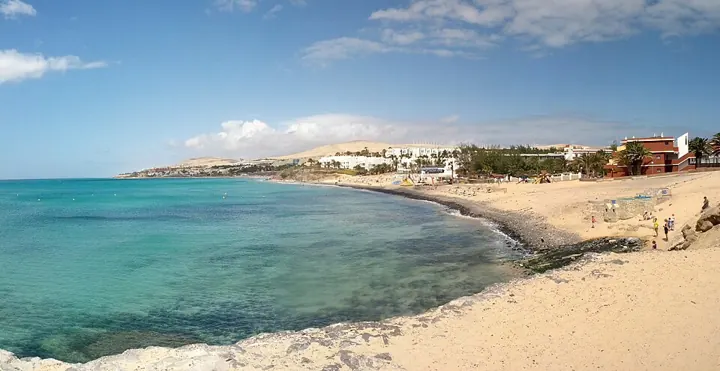
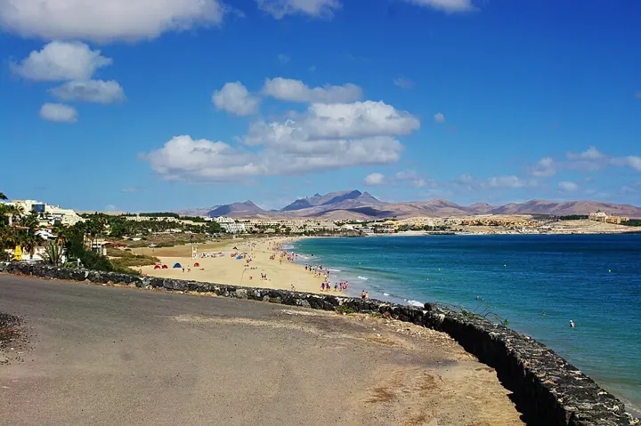
Playa de Costa Calma lies in front of the resort of the same name, in the municipality of Pájara. The local council describes an arc of just over two kilometres from Punta de los Molinillos to Risco del Gato. Some sandy sections only join up at lower water levels. When you arrive, take a moment to see how much sand is exposed at your access point.
Pale sand and room to spread out
The wide strip of sand offers space to sit and play. At higher water levels, it can narrow in places. Leave some space between your towel and the waterline.
Smaller coves at the northern end
There are smaller beach sections towards the north. If you’re with children, check the entry point and choose a spot with a clear view of the water.
Facilities close to the beach
The council lists showers, toilets, loungers and parasols, among other amenities. Facilities and opening times can vary by section and season. Check what’s available when you get there.
Swimming conditions · Beach flags
Swimming at Playa de Costa Calma
In calm conditions, a stretch of shore where you can see the water clearly is useful for a family beach day. Go down to the water with younger children and stay within arm’s reach. Conditions can vary along the bay with the wind direction and water level.
The flags indicate current conditions. A red flag means no swimming. Take particular care when the flag is yellow. The local council lists lifeguard towers at the beach. Ask a lifeguard if you’re unsure about entering and check whether your section is supervised on the day.
If you walk further along the shore, note your access point for the return. Turn back early at rockier stretches when the tide is coming in. Where water sports take place, use the designated swimming areas and keep entry and exit lanes clear.
Costa Calma · Municipality of Pájara
Getting to Playa de Costa Calma
The FV-2 takes you to Costa Calma from La Lajita or the Jandía peninsula. Search for “Playa de Costa Calma, Pájara”. The directions link takes you to the resort’s main bay. Use a separate destination if you’re going to the lagoon at Playa de Sotavento.
There are several ways onto the beach. For a short visit, choose an entrance near your bus stop or parking spot. For a longer walk, follow the sand from there and return to town at the same access point.
By car
Leave the FV-2 at the Costa Calma exit. Follow the signs in town and use marked parking spaces. The last stretch to the beach is on foot.
By bus
Check TIADHE bus route 01 for a service and stop in Costa Calma on your travel date. Allow time for the walk from the stop to the beach and check the return timetable.
Access with a wheelchair or pushchair
The council lists a ramp, accessible toilets and amphibious beach wheelchairs. These facilities are at particular access points. Check with Pájara council for the best entrance and current availability before you visit.
Plan your beach day
5 practical tips for your visit
A walk around the main bay
Start at a beach entrance in Costa Calma and follow the shoreline in whichever direction leaves enough dry sand. When you want a break, you can head back into town at an open access point. This makes it easier to plan around wind and tides.
-
Allow time for the walk back
More stretches of sand are connected at low tide. Turn back if the dry route narrows. If in doubt, take a marked access path back into town.
-
Check the wind and sea separately
The wind can feel different near buildings and at the waterline. Check the actual conditions in your section before swimming.
-
Bring water and shade
Pack drinking water, sun protection and a hat. If you want to rent a lounger or parasol, check availability at the beach.
-
Choose the right access point
With children, a pushchair or limited mobility, it helps to check your entrance before heading out. The council lists the facilities available.
-
Plan Costa Calma and Sotavento separately
For a second stop, head further south to Sotavento. Its shallow lagoon changes with the tides. Enter each beach as a separate destination when planning your route.
Frequently asked questions about Playa de Costa Calma
Where is Playa de Costa Calma?
The main beach is in front of the resort of the same name, in the municipality of Pájara in southern Fuerteventura. You can reach it from the FV-2.
Is Playa de Costa Calma suitable for families?
In suitable conditions, the sandy shoreline and short distances make it practical for families. Check the flags and stay within arm’s reach of younger children at the water.
Is there step-free access?
The council lists a ramp and facilities for visitors with limited mobility. Check which entrance suits you and which services are operating before your visit.
Can I get to the beach without a car?
Yes. There are bus stops in Costa Calma. Check the service and the walk to your preferred beach entrance before you go.
Is Costa Calma the same as Sotavento?
Playa de Costa Calma is in front of the resort. Sotavento and its tidal lagoon are further south. The map and directions in this guide are for Costa Calma.
More beaches and official information
Beaches in Fuerteventura · Playa de Costa Calma on Visit Fuerteventura · Beach access and facilities from Pájara council
Cover image · Bengt Nyman · CC BY 2.0 · archive photo, resized