



Fuerteventura · Jandía west coast · Pájara
Playa de Barlovento de Jandía
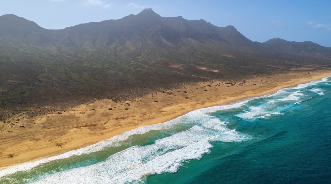
The mountains of Jandía rise behind the golden sand, with the open Atlantic stretching out in front.
Fuerteventura · Jandía west coast · Pájara
Where is Playa de Barlovento?
Playa de Barlovento is on the west coast of the Jandía peninsula, north of Cofete. Barlovento de Jandía is also used for several beaches along this coast. The map pin marks the stretch covered here.
View location on Google MapsPlaya de Barlovento at a glance
Beach guide
Golden sand at the foot of the Jandía mountains
Playa de Barlovento feels especially vast, stretching between steep mountain slopes and the open sea. The coastline alternates between sand and rock. Wind and surf shape the experience here as much as the light.
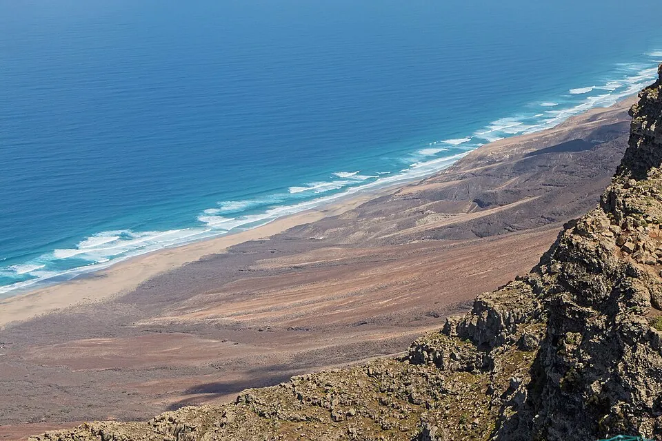
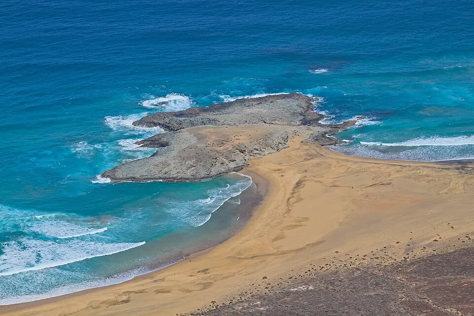
Barlovento and Cofete
The names refer to neighbouring stretches and are sometimes used for the wider coast. Check the exact map pin and your starting point before setting off.
See the coast from above
Mirador de Cofete overlooks much of the sweeping coastline. The viewpoint is an option if you want to see the landscape and a longer visit to the beach does not suit your plans.
Keep back from the water
Keep clear of the surf zone. If waves reach the sandy strip or the tide is rising, turn back early.

Getting there and beach access
The approach towards Cofete starts on the Jandía peninsula and follows an unpaved track. Work out how to reach your chosen stretch from an open access point and how to return. The pin shows where the beach is. Follow local signs for the route you can use.
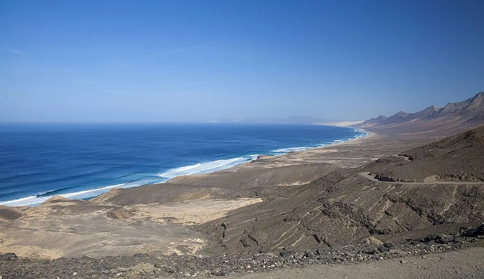
Tracks and hire cars
Check the track conditions, closures and hire car terms. Use open routes and plan to drive back in daylight.
Bring your own supplies
Bring water, sun protection and sturdy shoes. Expect few facilities on the beach and take your rubbish with you.
Three tips for visiting Playa de Barlovento
Choose your starting point first
For a view of the sweeping coast, start with Mirador de Cofete. If you want to go down to the sea, plan the route to your chosen stretch of Playa de Barlovento separately. Mark your starting point and the return route on your map before leaving.
Check the wind, surf and tides
The west coast is exposed. Check the marine forecast and tides as well as the weather. Watch the waves from a safe distance first. If the beach narrows or water reaches the way back, stay above the shore. You can enjoy the view well back from the water.
Leave time for the drive back
Expect slow going on the track and leave enough time to return in daylight. Bring drinking water and download your map in advance. If access is closed or the surf is strong, stick to a viewpoint as long as its access road is open.
Frequently asked questions
Where is Playa de Barlovento?
On Jandía’s exposed west coast in the municipality of Pájara, north of Cofete.
Are Barlovento and Cofete the same beach?
The stretches of coast are next to each other. Barlovento is also used as a collective name for several beaches.
Can you swim at Barlovento?
Because of the exposed Atlantic surf, this stretch is best enjoyed from land, well back from the water’s edge.
Do I need to plan a specific route?
Check access to the exact stretch and any closures in advance. The road to Cofete is an unpaved track.