



Surf Spot Finder
Fuerteventura
From sandy bays in the west to reefs in the north. Explore 21 surf spots in Fuerteventura, coast by coast.
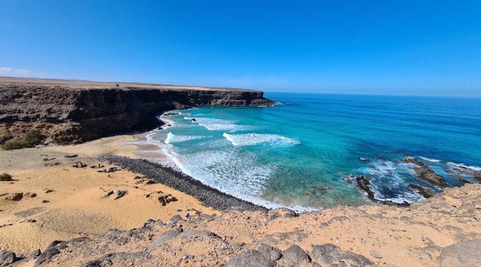
- 1West coast
- 2North Shore
- 3Corralejo
- 4East coast
West coast
3 spots
The guide has no matches for these filters. Try a different coast or seabed type.
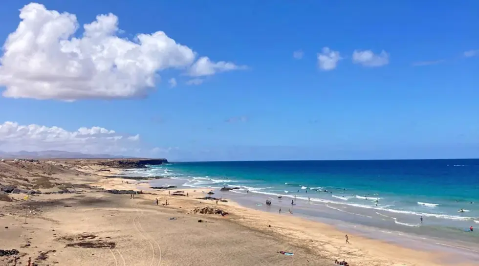
El Cotillo
Piedra Playa · West coast
Sandbanks at the surf beach south of the village.
When this spot works
- Swell
- North to west
- Wind
- East to east-northeast
- Tides
- The suitable water level varies with the sandbanks
- Season
- Year-round with suitable swell
Walk to the beach from the car park
Directions to parkingForecast for El Cotillo
Forecast point · Cotillo · Surf-Forecast
Wave height, period and wind are loaded directly from Surf-Forecast.
Loading connects you to Surf-Forecast.
Check conditions on site. Compare several sandbanks. Larger swell can produce closeouts here. Observe the beach flags.
All surf spots in FuerteventuraEsquinzo
Playa de Esquinzo · La Oliva
Powerful waves in a bay below steep cliffs.
When this spot works
- Swell
- North to west
- Wind
- Easterly winds; cliffs may shelter the bay from northeast winds
- Tides
- Check the sandbanks and space to enter and leave the water
- Season
- Year-round with suitable swell
Car park at Esquinzo in La Oliva · continue on foot
Directions to parkingForecast for Esquinzo
Forecast point · Playa de Esquinzo · Surf-Forecast
Wave height, period and wind are loaded directly from Surf-Forecast.
Loading connects you to Surf-Forecast.
Check conditions on site. The bay can produce powerful, hollow waves. Allow for changing water levels when planning your way back from the beach.
All surf spots in FuerteventuraPlaya de las Mujeres
Tindaya · West coast
Sandy beach on the coast near Tindaya.
When this spot works
- Swell
- North to west
- Wind
- Easterly winds
- Tides
- Depends on the sandbanks and breaking waves
- Season
- Our spot guide highlights September and October
From our map of surf spots in Fuerteventura
Spot on Google MapsForecast for Playa de las Mujeres
Forecast point · Playa de Esquinzo · regional forecast point
Wave height, period and wind are loaded directly from Surf-Forecast. This regional forecast point helps you assess the swell along this section of coast.
Loading connects you to Surf-Forecast.
Check conditions on site. This open bay receives Atlantic swell. Check currents and the position of the sandbanks before choosing a peak.
All surf spots in Fuerteventura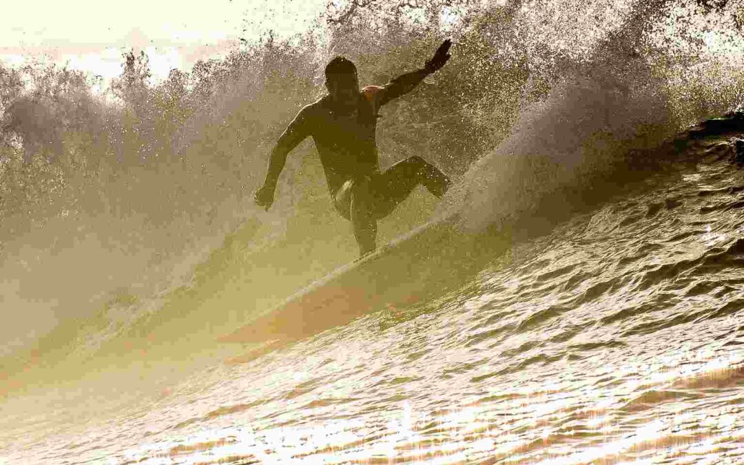
Punta Gorda
North Shore · West
Sheltered spot with a left-hand wave.
When this spot works
- Swell
- Larger swell that reforms in the bay
- Wind
- Check the local wind shelter in the bay
- Tides
- Our spot guide suggests mid to high tide
- Season
- September to May
From our map of surf spots in Fuerteventura
Spot on Google MapsForecast for Punta Gorda
Forecast point · Hierro · regional North Shore forecast point
Wave height, period and wind are loaded directly from Surf-Forecast. This regional forecast point helps you assess the swell along this section of coast.
Loading connects you to Surf-Forecast.
Check conditions on site. The left can break over a shallow take-off area. Our guide describes strong currents at this spot.
All surf spots in Fuerteventura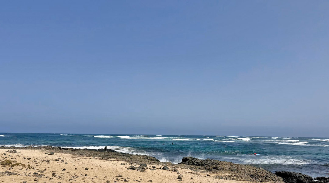
Punta Blanca
North Shore · West
Whitewater and waves that reform further out.
When this spot works
- Swell
- Northerly Atlantic swell
- Wind
- Southerly to southeasterly winds can be favourable
- Tides
- Assess the water level and depth over the reef on site
- Season
- Year-round, depending on swell and wind
From our map of surf spots in Fuerteventura
Spot on Google MapsForecast for Punta Blanca
Forecast point · Punta Blanca · gonna.surf
Follow the direct provider link for the current forecast at this spot.
Check conditions on site. Reef and individual rocks shape the spot. Suitable practice areas depend on the conditions and the supervised part of the break.
All surf spots in FuerteventuraLa Derecha de los Alemanes
German Right · North Shore
Steep right-hander, also known as German Right.
When this spot works
- Swell
- North to west, often north-northwest
- Wind
- Southeast
- Tides
- Check the reef section and wave size at the current water level
- Season
- Especially autumn and winter
From our map of surf spots in Fuerteventura
Spot on Google MapsForecast for La Derecha de los Alemanes
Forecast point · Derecha de los Alemanes · Surf-Forecast
Wave height, period and wind are loaded directly from Surf-Forecast.
Loading connects you to Surf-Forecast.
Check conditions on site. A steep right-hand wave with reef and possible currents. This spot calls for suitable experience and a check from the shore.
All surf spots in FuerteventuraEl Hierro · La Izquierda
La Izquierda · North Shore
Left-hand reef break in front of a sandy beach.
When this spot works
- Swell
- Northerly to northwesterly swell
- Wind
- Easterly winds
- Tides
- Check reef coverage and access into and out of the water
- Season
- October to March
From our map of surf spots in Fuerteventura
Spot on Google MapsForecast for El Hierro · La Izquierda
Forecast point · Hierro · Surf-Forecast
Wave height, period and wind are loaded directly from Surf-Forecast.
Loading connects you to Surf-Forecast.
Check conditions on site. The left can form hollow sections. The peak is often busy when conditions are good.
All surf spots in FuerteventuraThe Bubble
North Shore · Reef break
Powerful wave with steep, hollow sections.
When this spot works
- Swell
- Westerly to northwesterly swell
- Wind
- Easterly winds
- Tides
- Shallow reef; check the water level on site
- Season
- October to March
From our map of surf spots in Fuerteventura
Spot on Google MapsForecast for The Bubble
Forecast point · The Bubble · Surf-Forecast
Wave height, period and wind are loaded directly from Surf-Forecast.
Loading connects you to Surf-Forecast.
Check conditions on site. A powerful A-frame over shallow reef. This spot is for very experienced surfers.
All surf spots in Fuerteventura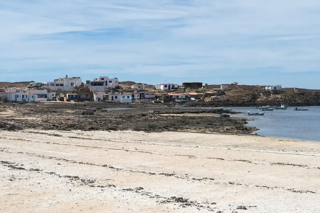
Majanicho · Inside Left
Majanicho Inside · Left
Left-hand wave at the inner reef in the bay.
When this spot works
- Swell
- Larger northerly swell can activate the inside
- Wind
- Assess the local wind within the bay
- Tides
- Check the water level over the inner reef
- Season
- November to April
From our map of surf spots in Fuerteventura
Spot on Google MapsForecast for Majanicho · Inside Left
Forecast point · Majanicho · shared bay forecast model
Wave height, period and wind are loaded directly from Surf-Forecast.
Loading connects you to Surf-Forecast.
Check conditions on site. The inside is more sheltered than the outer reef. Check currents, the reef and your return route at the spot.
All surf spots in FuerteventuraMajanicho · Inside Right
Majanicho Inside · Right
Right-hand wave at the inner reef in the bay.
When this spot works
- Swell
- Larger northerly swell can activate the inside
- Wind
- Assess the local wind within the bay
- Tides
- Check the water level over the inner reef
- Season
- November to April
From our map of surf spots in Fuerteventura
Spot on Google MapsForecast for Majanicho · Inside Right
Forecast point · Majanicho · shared bay forecast model
Wave height, period and wind are loaded directly from Surf-Forecast.
Loading connects you to Surf-Forecast.
Check conditions on site. The inside is more sheltered than the outer reef. Check currents, the reef and your return route at the spot.
All surf spots in FuerteventuraMajanicho · Outside
Majanicho Outside · Outer reef
Long right-hand wave at the outer reef.
When this spot works
- Swell
- Northerly swell
- Wind
- Easterly winds
- Tides
- Our spot guide suggests a lower tide
- Season
- Mainly during the winter half of the year
From our map of surf spots in Fuerteventura
Spot on Google MapsForecast for Majanicho · Outside
Forecast point · Majanicho · shared bay forecast model
Wave height, period and wind are loaded directly from Surf-Forecast.
Loading connects you to Surf-Forecast.
Check conditions on site. The outer reef lies further offshore. Plan for the longer paddle and the conditions on your way back.
All surf spots in FuerteventuraMejillones
North Shore · East
Well-known big-wave spot.
When this spot works
- Swell
- Northwest to north-northwest
- Wind
- Southerly winds
- Tides
- Check the water level and depth over the reef
- Season
- October to March
From our map of surf spots in Fuerteventura
Spot on Google MapsForecast for Mejillones
Forecast point · Mejillones · Surf-Forecast
Wave height, period and wind are loaded directly from Surf-Forecast.
Loading connects you to Surf-Forecast.
Check conditions on site. An exposed reef spot that becomes very powerful with larger swell. Larger conditions require particular experience.
All surf spots in FuerteventuraLa Cóncava
La Cóncava · Inside near Mejillones
Reef break near Mejillones with lefts and rights.
When this spot works
- Swell
- Powerful west to northwest swell
- Wind
- Southerly to southwesterly winds
- Tides
- Shallow reef; check the depth at your chosen peak
- Season
- October to March
From our map of surf spots in Fuerteventura
Spot on Google MapsForecast for La Cóncava
Forecast point · Mejillones · regional forecast point for the inside
Wave height, period and wind are loaded directly from Surf-Forecast. This regional forecast point helps you assess the swell along this section of coast.
Loading connects you to Surf-Forecast.
Check conditions on site. This shallow reef break can form hollow lefts and rights and is for very experienced surfers.
All surf spots in FuerteventuraGeneroso
Generoso / Generosa · North Shore
Left- and right-hand waves over a reef.
When this spot works
- Swell
- North-northwest
- Wind
- Southerly winds
- Tides
- Assess the peak and reef coverage at the current water level
- Season
- Especially autumn and winter
From our map of surf spots in Fuerteventura
Spot on Google MapsForecast for Generoso
Forecast point · Generosa · Surf-Forecast
Wave height, period and wind are loaded directly from Surf-Forecast.
Loading connects you to Surf-Forecast.
Check conditions on site. A reef wave on the north coast. The forecast provider lists the spot as Generosa.
All surf spots in Fuerteventura
Harbour Wall
El Muelle · Corralejo harbour
Long left-hand wave by Corralejo harbour.
When this spot works
- Swell
- North-northwest
- Wind
- South to southwest
- Tides
- The provider suggests a lower tide for the left
- Season
- November to April
From our map of surf spots in Fuerteventura
Spot on Google MapsForecast for Harbour Wall
Forecast point · El Muelle · Surf-Forecast
Wave height, period and wind are loaded directly from Surf-Forecast.
Loading connects you to Surf-Forecast.
Check conditions on site. The left breaks over reef by the harbour. Check the water level, rocks and space at the peak.
All surf spots in Fuerteventura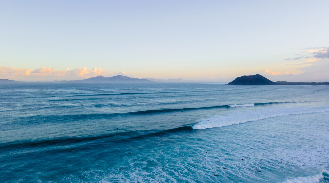
Rocky Point · Punta Elena
Punta Elena / Bajo del Medio · Corralejo
Inner and outer reef off Corralejo.
When this spot works
- Swell
- Northwest
- Wind
- Southwest
- Tides
- Assess the inner and outer reefs separately
- Season
- November to March
From our map of surf spots in Fuerteventura
Spot on Google MapsForecast for Rocky Point · Punta Elena
Forecast point · Bajo el Medio · Surf-Forecast
Wave height, period and wind are loaded directly from Surf-Forecast.
Loading connects you to Surf-Forecast.
Check conditions on site. Different peaks break on the inside and outside. SUP surfers may also use the outside.
All surf spots in Fuerteventura
La Entubadera
Dune coast · East of Corralejo
Powerful wave over a partly sand-covered reef.
When this spot works
- Swell
- Northwest
- Wind
- Westerly to northwesterly winds
- Tides
- Our spot guide suggests a higher tide
- Season
- November to April
From our map of surf spots in Fuerteventura
Spot on Google MapsForecast for La Entubadera
Forecast point · Entubadera · gonna.surf
Follow the direct provider link for the current forecast at this spot.
Check conditions on site. Sand may cover a reef with holes. The amount of exposed reef changes with the sand and water level.
All surf spots in FuerteventuraGlass Beach
Glass Beach · East of Corralejo
Waves over a sand-covered reef.
When this spot works
- Swell
- North to northwest
- Wind
- Westerly winds
- Tides
- Check sand coverage and the water depth over the reef
- Season
- Year-round with suitable swell
From our map of surf spots in Fuerteventura
Spot on Google MapsForecast for Glass Beach
Forecast point · Glass Beach · Surf-Forecast
Wave height, period and wind are loaded directly from Surf-Forecast.
Loading connects you to Surf-Forecast.
Check conditions on site. Sand coverage over the reef changes. Check your chosen peak and the way into and out of the water.
All surf spots in FuerteventuraPlaya del Moro
Dune coast · East of Corralejo
Beach break on the coast east of Corralejo.
When this spot works
- Swell
- Northeast windswell; sometimes larger northwest swell in winter
- Wind
- Assess the wind at your chosen section of beach
- Tides
- Depends on the sandbanks and breaking waves
- Season
- Our spot guide highlights April to September
From our map of surf spots in Fuerteventura
Spot on Google MapsForecast for Playa del Moro
Forecast point · Playa del Moro · gonna.surf
Follow the direct provider link for the current forecast at this spot.
Check conditions on site. Surf schools also use this beach break. The conditions on the day determine which area suits your level.
All surf spots in FuerteventuraPuerto Lajas
North of Puerto del Rosario · East coast
Left- and right-hand waves in a bay north of the capital.
When this spot works
- Swell
- Northeast windswell
- Wind
- Watch for the wind strengthening during the day
- Tides
- Check reef coverage and access into and out of the water
- Season
- April to September
From our map of surf spots in Fuerteventura
Spot on Google MapsForecast for Puerto Lajas
Forecast point · Puerto Lajas · Windfinder
Follow the direct provider link for the current forecast at this spot.
Check conditions on site. Windsurfers and kitesurfers also use the bay. Allow for other users and the space at the peak.
All surf spots in FuerteventuraPlaya Blanca
South of Puerto del Rosario · East coast
Sandy beach between Puerto del Rosario and the airport.
When this spot works
- Swell
- Northeast windswell
- Wind
- Look for light or offshore winds
- Tides
- Depends on the sandbanks and breaking waves
- Season
- Year-round with suitable windswell
From our map of surf spots in Fuerteventura
Spot on Google MapsForecast for Playa Blanca
Forecast point · Playa Blanca near Puerto del Rosario · gonna.surf
Follow the direct provider link for the current forecast at this spot.
Check conditions on site. Local windswell can make the waves disorganised. Make sure the conditions suit your level.
All surf spots in FuerteventuraYou will find the full overview in surfing on Fuerteventura: all the info. You might also like El Cotillo Surfing and Surfing in Jandia.
More on surfing in Fuerteventura
Questions about surfing in Fuerteventura
Can beginners surf on their own in Fuerteventura?
Sandy beaches around El Cotillo can offer suitable waves, but conditions change each day. As a complete beginner, start with a qualified instructor. Check currents, shorebreak and entry and exit points: a spot name or a forecast alone does not show whether the conditions suit your level.
When do intermediate and advanced surfers find the best conditions?
Many north- and west-coast spots receive more swell in autumn and winter. Beginners can find suitable small-wave days at different times of year. The individual spot, wind, tide and swell matter more than the month. Use the spot profiles and check the conditions on site.
Do you recommend a rental car?
A rental car makes it easier to compare spots on different coasts. Check access and parking locally, continue on foot where necessary, and follow your rental agreement on unpaved roads.