



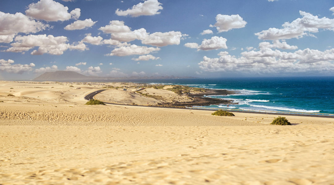
Fuerteventura · Northeast coast · La Oliva
Grandes Playas de Corralejo
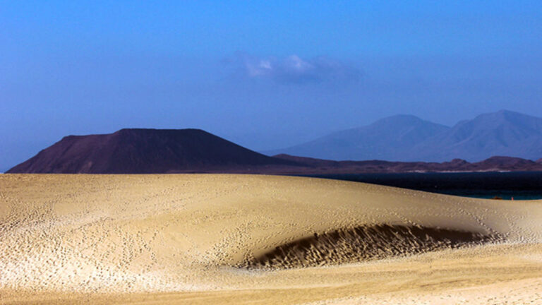
Pale shell sand, dunes and views of Lobos. Pick the stretch of coast that suits the kind of beach day you have in mind.
Fuerteventura · Northeast coast · La Oliva
Where are the Grandes Playas?
The Grandes Playas de Corralejo are south of town, on Fuerteventura’s northeast coast. The map marks the coast by the dunes. For directions, choose the specific beach you want to visit.
Location in Google MapsGrandes Playas at a glance
Beach compass
The Grandes Playas are a chain of beaches
South of Corralejo, pale beaches line the edge of the Parque Natural de Corralejo. Lobos lies offshore and the open dune landscape starts just inland. The light sand, known locally as jable, is largely made of ground-up shells.
Bajo Negro sits by the hotels and is an option if you want services nearby. El Burro is another beach along this coast. Farther south, the coves get smaller and the way from the parking area to the sea can cross soft sand. Take water if you are heading to a quiet stretch without facilities.

Getting there
Drive south from Corralejo on the FV-1. Use designated parking and existing paths to the water. Enter the name of your chosen beach when navigating, since the Grandes Playas cover a long section of coast.
If you come by bus, check which stop serves your beach and when you can get back. Our guide to the Corralejo dunes covers roads and bus access.
Three tips for the Grandes Playas de Corralejo
With children
Choose a supervised beach and look at the flag first. If the wind or waves pick up, take a walk or have a break back from the water.
For a walk
Use permitted paths between the beach and dunes. Respect closures and take your rubbish with you.
Surfing and water sports
Kitesurfers and windsurfers use El Médano near Corralejo. For surfing, choose your spot according to the wind, swell and your experience. The FreshSurf spot finder helps you compare the coast. Follow local zoning.
Choosing where to start
For a short visit to the Grandes Playas de Corralejo, Bajo Negro is a straightforward starting point. Smaller coves farther south may involve a longer walk on loose sand, which is harder with a pushchair. On a windy day, a short walk in the permitted areas may be more pleasant than staying by the water. If you are returning to town, finish with a stroll by Corralejo harbour.
Pick a single access point at the Grandes Playas de Corralejo before setting out. Once you arrive, see how far the path runs over soft sand and check the flags and water sports boundaries at your chosen beach. If you want to combine a stop by the water with a walk in the dunes, leave the car at the designated parking area and use the existing paths between them.
Frequently asked questions
Where are the Grandes Playas de Corralejo?
South of Corralejo in northeast Fuerteventura, along the coast of the Corralejo Dunes Natural Park.
Where are the facilities?
Bajo Negro is near the hotels. Facilities vary by beach and season.
Can I swim at the Grandes Playas?
Yes when local conditions and flags allow. Choose a supervised stretch and keep clear of kite and windsurfing areas.
Can I combine the dunes and the beach?
Yes. They sit side by side. Use the designated paths in the natural park.
Further reading
FreshSurf editorial team in El Cotillo