



Fuerteventura · West coast · El Cotillo
Playa de la Escalera
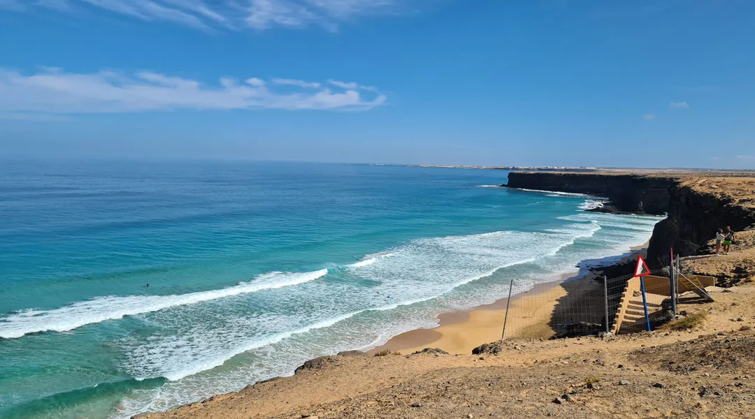
Playa de la Escalera lies below the cliffs south of El Cotillo. A steep staircase leads down to a long stretch of sand exposed to the Atlantic swell.
Fuerteventura · Northwest coast
Where is Playa de la Escalera?
South of El Cotillo, a steep staircase leads down the cliffs to the beach.
Get directions in Google MapsIsland outline · ISTAC · Gobierno de Canarias, simplified.
Playa de la Escalera at a glance
Beach compass
AccessSteep staircase
Good forWalks when the sea is calm
WaterOpen Atlantic
Keep an eye on the surf and tides
There is less space on the beach at high tide. If waves reach the rocks, stay above the beach. Keep clear of the foot of the cliffs because of falling rocks. We advise against swimming at this unpatrolled beach. Coastal safety advice
The coast
What to expect at Playa de la Escalera
The staircase beach
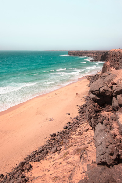
Playa de la Escalera, also known as Playa del Águila, is south of El Cotillo. Pale sand and dark rock alternate below the cliffs.
A walk along the shore
More sand is exposed when the tide is low. On your way out, check whether you will be able to get back to the stairs without entering the water.
Clifftop views
You can see across the bay from above. Keep to the paths and leave plenty of space between you and the cliff edge.
Surfing · West coast
Surfing at Playa de la Escalera
Escalera sits on the same exposed coast as El Cotillo. Use the Cotillo forecast as a starting point, then watch how the waves actually break in this bay from a safe spot above the stairs.
Cotillo surf conditions at a glance
- Break
- Sandy beach break
- Swell
- North to west
- Wind
- An easterly can keep waves cleaner
- Tides
- Look at the tide and the sandbanks together
Open the SpotfinderView the Cotillo forecast
Spotfinder · West coast → El Cotillo
Check the waves before going down
- Watch several sets from a safe viewpoint and look for currents.
- If waves close out all at once, getting in can be difficult. Stay on land if you are unsure about conditions.
- On a rising tide, check that the route back to the stairs will remain clear.
Surf level. Best for independent surfers who are used to exposed beach breaks. If you are just starting out, ask for help choosing a spot that suits the conditions that day.
Directions & access
Getting to Playa de la Escalera
By car
Head south from El Cotillo along the unpaved coastal track. Check the track conditions and your rental car agreement before setting off.
Down the staircase
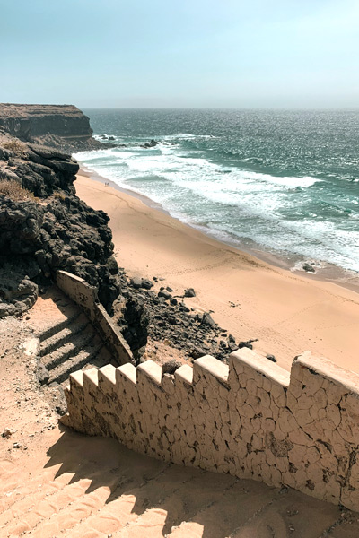
The steps are steep. Wear sturdy shoes and allow time to climb back up.
Before you descend
Check how much dry sand is visible and how far the waves are reaching.
Planning your beach visit
Allow time for the staircase
At Playa de la Escalera the visit starts on the cliffs. Before heading down, look at the width of the dry sand and make sure the route back to the stairs is clear. Allow extra time for the climb, especially if you are carrying a board or a bag. If you mainly want to see the bay, a short stop above the beach is enough.
Read the tides and swell together
Before driving out, look up the tide and the wave forecast for El Cotillo. They answer different questions. The tide tells you how the water level will change. The swell forecast helps you anticipate the surf. Watch several sets from a safe viewpoint and allow for the longer lulls that can occur between larger groups of waves.
Have a second option nearby
If the access at the staircase beach is too steep for your group, you can combine your trip with a stop by the Castillo in El Cotillo. The neighbouring Piedra Playa has several sections where you can compare the surf before deciding whether to walk along the coast or move on. For a more sheltered bay, see the lagoons north of El Cotillo in the Fuerteventura beach guide.
Map and directions
The driving route ends at the parking area above the beach. Take the stairs down from there.
Loading the map connects to Google.
In pictures
A look around the beach
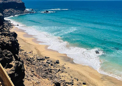
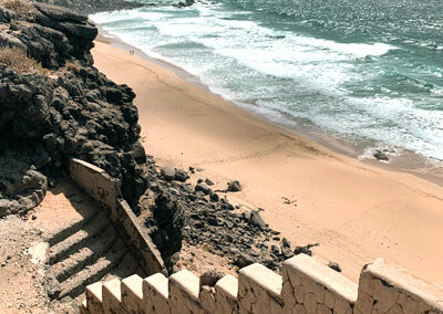
Three views of Playa de la Escalera and the coast south of El Cotillo.

Frequently asked questions
Is Playa de la Escalera accessible?
The steep staircase is unsuitable for wheelchairs and pushchairs.
When is it a good time for a beach walk?
When enough dry sand is exposed and the surf leaves space between the water and the cliffs. Check both from above before going down.
Are there lifeguards at Playa de la Escalera?
There are no lifeguards. Stay on land if the surf is strong or you are unsure about currents.
More beaches nearby
Fuerteventura beach guide · Playa de Esquinzo · Piedra Playa · Explore El Cotillo